Open Door: Getting High with Hawley-Hutzler, Drones and Historic Buildings

Join us on a blog journey as we walk through the preservation of the famed Hawley-Hutzler House in Baltimore, Maryland.
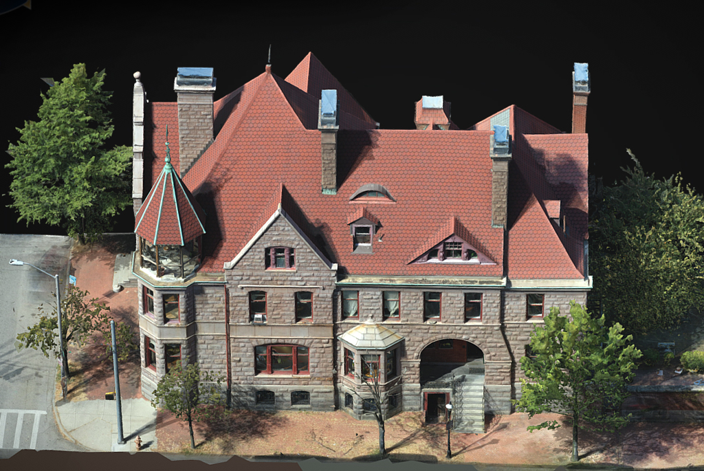
What does new technology like a drone have to do with historic buildings? Drones can be used to survey a historic building in three dimensions. The drone survey is built from compiled photography, and then software such as Revit, is used to assemble 3D models. In the case of many historic buildings, architectural plans for the original structure may not exist, and the models help for planning. For example, if you are running new ductwork, and you are unsure if it will conflict with structure or plumbing, you can add in components with 3D to identify conflicts. Direct Dimensions conducted a drone survey and created the models below with plans and elevations for the previous owners of the Hawley-Hutzler House. They were using it to draw up an adaptation for the building to use it for offices. No known plans exist for the original Hawley-Hutzler house.
Join us on this incredible journey for an up close and personal preservation story. We love what we do; let us do it for you. We’d love to hear about your project.
Read all of the blogs in this series:
Open Door: The Preservation of the Hawley-Hutzler House
Open Door: Cleaning Ebenezer at the Hawley-Hutzler House
Open Door: Richardsonian Romanesque at the Hawley-Hutzler House
Open Door: Road Trip with the Hawley-Hutzler House
Open Door: Getting High with Hawley-Hutzler, Drones and Historic Buildings
